2020 Field Trips
We use Flickr to host slideshows for our Field Trips. The following links will show you how to join the Alameda Photographic Society group on Flickr and how to submit images for your field trip
Joining the APS Flickr Group
Adding Field Trip Images to APS group for slideshow
| Destination |
Click on image to see more |
|
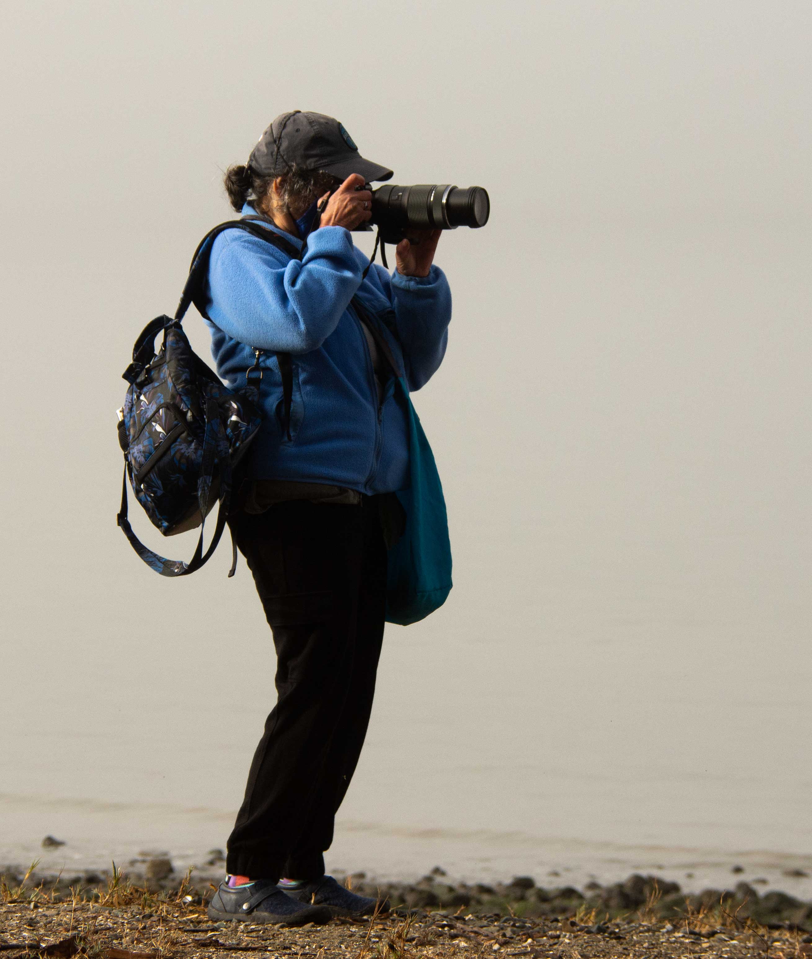
Point Pinole Regional Shoreline a 2,432-acre parkland right next to densely populated Pinole, Richmond, and San Pablo. Trails lead through breezy meadows with wildflowers in season, through aromatic eucalyptus woods, or along bluffs and beaches on San Pablo Bay.
Flickr tag: 2020_Pinole
Trip Leader: Jeannette Lakness-King
|

|
|
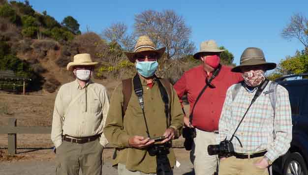
Coyote Hills Comprised of 1,266 acres of marshland and rolling grassland covered hills, this busy park is located along the eastern shore of San Francisco Bay, northwest of the cities of Fremont and Newark.
Flickr tag: 2020_Coyote
Trip Leader: Stephen Hinchey
|

|
|
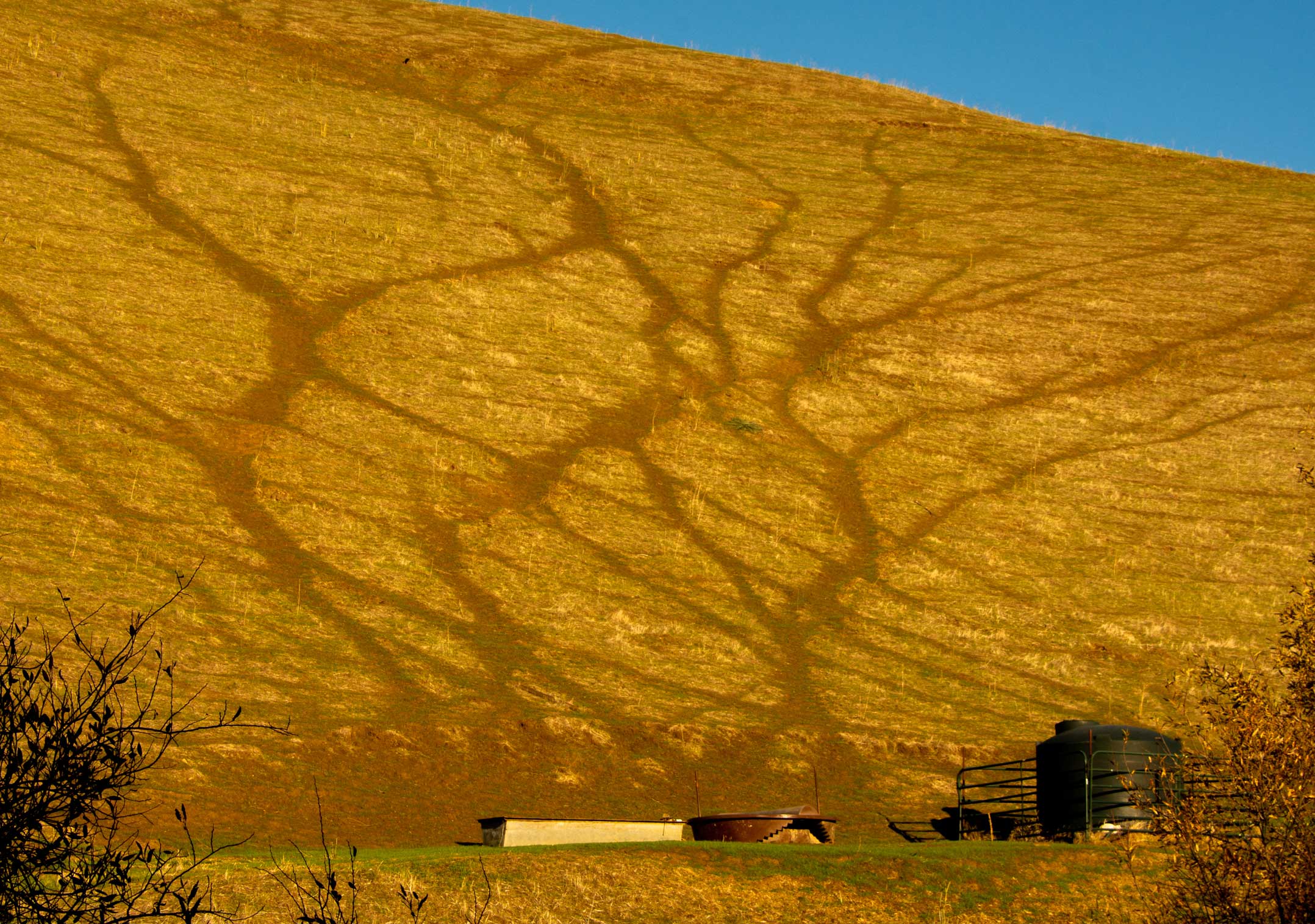
Brushy Peak Brushy Peak is a 1,702-foot landmark at the juncture of the San Francisco Bay Area, the California Delta, and the Central Valley. The peak and its environs have been recognized as sacred by generations of native Californians.
Flickr tag: 2020_Brushy
Trip Leader: Mark Brueckman
|

|